
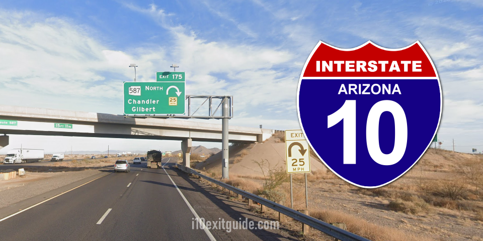
The Arizona Department of Transportation (ADOT) reports that construction crews with the I-10 Wild Horse Pass Corridor Project (I-10 between Phoenix and Casa Grande) have begun active construction on an 11-mile stretch of I-10 in both directions between Loop 202 (Santan/South Mountain freeways) and the Gila River.
This 11-mile stretch of I-10 is the third of four segments in the 26-mile project corridor between Phoenix and Casa Grande. In this segment, crews will:
- Add a third general purpose lane in both directions
- Add a high-occupancy vehicle lane in both directions from the Loop 202 to Riggs Road
- Reconstruct the interchanges at Wild Horse Pass Boulevard, Riggs Road and Queen Creek Road/State Route 347.
- Construct a new interchange between Wild Horse Pass Boulevard and Queen Creek/State Route 347, at Koli Road.
- Install overhead messaging boards, freeway cameras and wrong-way detection systems.
Construction on the first project segment began in May 2024 with the replacement of the I-10 bridges over the Gila River, located 11 miles south of Loop 202 (Santan/South Mountain freeways). The finishing touches on these new bridges are scheduled for next month.
Construction began on the second project segment in January 2026. This 10-mile stretch of I-10 runs from Gas Line Road to just north of Casa Grande near the Pinal Avenue/State Route 387 interchange. In this segment crews are adding a third general purpose lane in both directions, reconstructing the Pinal Avenue/State Route 387 interchange, constructing a new interchange at Seed Farm Road, widening the Gas Line Road bridge over I-10 and removing the Dirk Lay Road bridge over I-10.
Once completed, the I-10 Wild Horse Pass Corridor Project will help reduce traffic congestion and travel times for motorists commuting between the Phoenix and Casa Grande areas. All four segments of the 26-mile I-10 project are expected to be completed by late 2029.
What’s I-10 traffic like RIGHT NOW? I-10 Real-time traffic information for selected cities along I-10. Maps show updates on road construction, traffic accidents, travel delays and the latest traffic speeds. Traffic cameras show congestion at a glance. Visit I-10 Traffic.
The I-10 Exit Guide is the Internet’s largest and most complete website dedicated to Interstate 10 travelers. Find detailed exit service listings… lodging, camping, food, gas and more for every exit from California to Florida!
On the road? Why not take us with you. The I-10 Exit Guide is mobile-friendly and totally FREE. No App Required.
Traveling another route? Visit our growing family of exit guides: I-4 Exit Guide, I-5 Exit Guide, I-10 Exit Guide, I-75 Exit Guide, I-80 Exit Guide and I-95 Exit Guide. Detailed exit service listings… discount lodging, camping, food, gas and more for every exit along the way!