
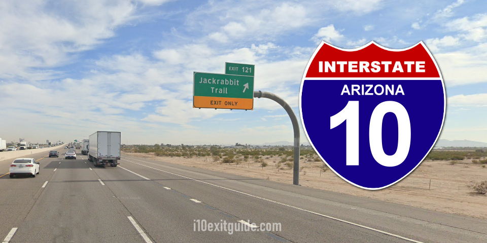
According to the Arizona Department of Transportation (ADOT), a project to add traffic capacity and improve traffic flow at the I-10 interchange at Jackrabbit Trail in the West Valley is starting this weekend.
The two-year project will provide new freeway bridges, widen the on- and off-ramps at Jackrabbit Trail and make much-needed cross street improvements in the area.
The following restrictions are scheduled this weekend as crews set work zones for initial work at the interchange:
- Eastbound I-10 off-ramp and westbound I-10 on-ramp at Jackrabbit Trail closed from 3:00 a.m. to 3:00 p.m. Saturday, August 29. Detours will be available via the I-10 interchanges at Verrado Way and Perryville Road. Southbound Jackrabbit Trail also will be closed Saturday between McDowell Road and Roosevelt Street.
The I-10/Jackrabbit Trail interchange improvement project also will require future closures or lane restrictions along I-10, Jackrabbit Trail and on- and off-ramps.
The project will allow crews to remove and reconstruct the existing I-10 bridges over Jackrabbit Trail and widen Jackrabbit Trail to three lanes in each direction from McDowell Road to just south of the interchange. Traffic signals will be added and the on- and off-ramps will be widened to provide additional turn lanes.
What’s I-10 traffic like RIGHT NOW? I-10 Real-time traffic information for selected cities along I-10. Maps show updates on road construction, traffic accidents, travel delays and the latest traffic speeds. Traffic cameras show congestion at a glance. Visit I-10 Traffic.
The I-10 Exit Guide is the Internet’s largest and most complete website dedicated to Interstate 10 travelers. Find detailed exit service listings… lodging, camping, food, gas and more for every exit from California to Florida!
On the road? Why not take us with you. The I-10 Exit Guide is mobile-friendly and totally FREE. No App Required.
Traveling another route? Visit our growing family of exit guides: I-4 Exit Guide, I-5 Exit Guide, I-10 Exit Guide, I-75 Exit Guide, I-80 Exit Guide and I-95 Exit Guide. Detailed exit service listings… discount lodging, camping, food, gas and more for every exit along the way!