

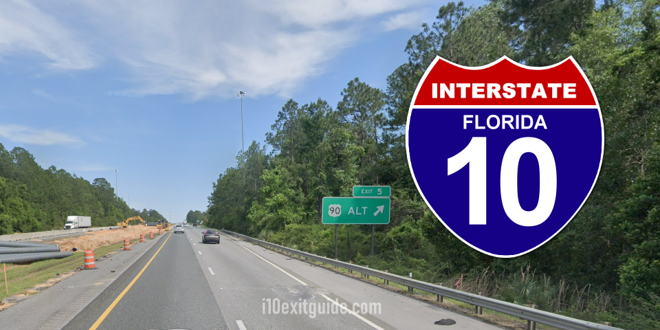
The Florida department of Transportation (FDOT) reports that I-10 drivers will encounter traffic disruptions in Escambia county as crews perform construction and maintenance activities. All work is weather dependent and subject to change.
- I-10 Resurfacing from east of U.S. 29 to east of Davis Highway (State Road (S.R.) 291)
Drivers on I-10 may encounter intermittent lane closures, traffic shifts and periodic ramp closures, between mile markers 11 and 14, Sunday, November 1 through Thursday, November 5, from 8:00 p.m. to 6:00 a.m. for roadway construction activities. - I-10 Resurfacing from the Perdido River Bridge to west of U.S. 29
I-10 drivers may encounter inside lane closures between mile markers 3 and 9, Sunday, November 1 through Thursday, November 5, from 8:00 p.m. to 6:00 a.m., for milling and paving operations. - I-10 at Nine Mile Road Interchange (Exit 5) Construction
Drivers will encounter the following construction-related traffic disruptions:- Intermittent lane closures on I-10 near the Nine Mile Road interchange, Sunday, November 1 through Thursday, November 5, between 8:00 p.m. and 6:00 a.m.
- Nine Mile Road will be reduced to one travel lane in each direction between the I-10 ramps, Sunday, November 1 through Saturday, November 7, between 8:00 p.m. and 6:00 a.m. Law enforcement will be on site, and directional signage will be in place to guide drivers through the work zone.
- Temporary reconfiguration of the I-10 westbound on-ramp, which will remain in place through late 2026.
- I-10 at U.S. 29 Interchange (Exit 10) Construction
Drivers are reminded of the following ongoing traffic impacts:- I-10 eastbound travel lanes have been shifted to the north near the U.S. 29 interchange. This temporary traffic configuration is anticipated to remain in place through late 2026. I-10 is reduced to two travel lanes in each direction between U.S. 29 and I110.
- The U.S. 29 southbound access to the I-10 eastbound on-ramp has been reduced.
- The U.S. 29 northbound ramp to I-10 eastbound is closed. U.S. 29 northbound drivers are being detoured to make a U-turn at Broad Street onto U.S. 29 southbound to access I-10 eastbound.
What’s I-10 traffic like RIGHT NOW? I-10 Real-time traffic information for selected cities along I-10. Maps show updates on road construction, traffic accidents, travel delays and the latest traffic speeds. Traffic cameras show congestion at a glance. Visit I-10 Traffic.
The I-10 Exit Guide is the Internet’s largest and most complete website dedicated to Interstate 10 travelers. Find detailed exit service listings… lodging, camping, food, gas and more for every exit from California to Florida!
On the road? Why not take us with you. The I-10 Exit Guide is mobile-friendly and totally FREE. No App Required.
Traveling another route? Visit our growing family of exit guides: I-4 Exit Guide, I-5 Exit Guide, I-10 Exit Guide, I-75 Exit Guide, I-80 Exit Guide and I-95 Exit Guide. Detailed exit service listings… discount lodging, camping, food, gas and more for every exit along the way!