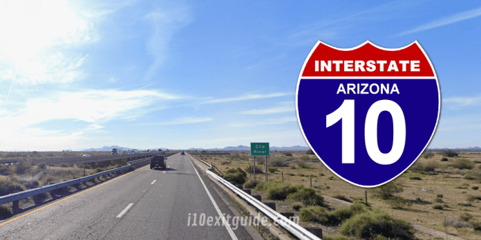
The Arizona Department of Transportation (ADOT) is pleased to announce that construction of the new I-10 bridges over the Gila River is scheduled to begin on Monday, May 13, 2024.
The construction of the new I-10 bridges over the Gila River is part of the I-10 Wild Horse Pass Corridor Project that runs along 26 miles of I-10 in both directions between the Loop 202 (Santan/South Mountain Freeway) and State Route 387 near Casa Grande.
Construction of the new Gila River bridges over I-10 is one segment of the project’s four segments that are being delivered. Crews will construct the new bridges next to the existing ones. Also, any planned roadway restrictions during the construction of the bridge will take place overnight to minimize the impact on motorists. Work for the entire project corridor is expected to take place between early 2024 through late 2028.
Major construction components of the new I-10 bridges over the Gila River include:
- Adding an additional lane in both directions (replacing the two lanes in each direction on the bridges to three lanes in each direction)
- Reconfiguring the approach to the bridges on both ends
- Widening the shoulders of the bridges
Once completed, the I-10 Wild Horse Pass Corridor Project will have widened I-10 by adding an additional lane between south of Chandler to north of Casa Grande, providing motorists with three continuous lanes of travel in each direction between Phoenix and Tucson. Other major components of the I-10 Wild Horse Project include:
- Extending the High Occupancy Vehicle (HOV) lanes in each direction on I-10 from Loop 202 (Santan/South Mountain Freeway) to Riggs Road
- Improving interchanges and crossroads for enhanced capacity and safety, and multimodal (bike and pedestrian) crossings
- Installing a fiber optic backbone to install freeway management technology to allow for installation of sensors, cameras, variable message signs and other highway operations and safety-related technology.
Note: Please be mindful that the Gila River Indian Community (GRIC) is a sovereign nation. Media wishing to take photographs and/or shoot video for news reports within the community should contact the Gila River Indian Community Department of Land Use Planning & Zoning prior to entry: 520.562.6003.
What’s happening on Interstate 10 RIGHT NOW! I-10 Real-time traffic information for selected cities along I-10. Maps show updates on road construction, traffic accidents, travel delays and the latest traffic speeds. Traffic cameras show congestion at a glance. Visit I-10 Traffic.
The I-10 Exit Guide is the Internet’s largest and most complete website dedicated to Interstate 10 travelers. Find detailed exit service listings… lodging, camping, food, gas and more for every exit from California to Florida!
On the road? Why not take us with you. The I-10 Exit Guide is mobile-friendly and totally FREE. No App Required.
Traveling another route? Visit our growing family of exit guides: I-4 Exit Guide, I-5 Exit Guide, I-10 Exit Guide, I-75 Exit Guide, I-80 Exit Guide and I-95 Exit Guide. Detailed exit service listings… discount lodging, camping, food, gas and more for every exit along the way!


