
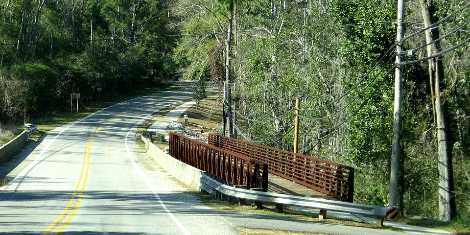
I-10 doesn’t have to be a long, boring drive… You’re a little ahead of schedule and you’ve got a few extra hours, so what’s your hurry? Why not take a side trip? Get off the Interstate and discover the real America… small towns, scenic coastlines, historic communities and some of the Gulf Coast’s most enjoyable roadtrips.
Alabama’s Coastal Connection
Length: 130.0 mi / 209.2 km
Time: Varies
Fees: None
This route and the waterways it follows are significant to the state of Alabama and the region for many reasons. Among them are the National Historic Landmarks of Fort Morgan and Fort Gaines, the protected lands of the Dauphin Island Audubon Sanctuary, Bon Secour National Wildlife Refuge, Weeks Bay National Estuarine Research Reserve and Gulf State Park, beaches, and a unique culture of working waterfronts with distinct scenery.
The waters of Alabama’s Gulf Coast create its strongest connections. Making a living from the waters is a tradition that is alive and well here. Shell mounds hold the stories of early inhabitants who lived off the bountiful waters. Captains run shrimp and charter boats, and research vessels carry those dedicated to understanding the waters and to preserving the ecosystems that are so dependent upon them.
Historic Forts Gaines and Morgan stand united around the mouth of Mobile Bay. In earlier times they stood guard against enemies and their cries of “Damn the torpedoes.” Today, the brick and wooden fortresses tell the stories of those battles and their soldiers to the many visitors who step onto their grounds.

The Dauphin Island Audubon Sanctuary, Bon Secour National Wildlife Refuge, and Gulf State Park provide more than 12,000 acres of protected lands along the coast. Weeks Bay National Estuarine Research Reserve is one of only 27 such reserves nationally. See indigenous wildlife, seasonal migratory birds and a variety of native plants. See the refuge’s bio-diverse habitats, including beaches and sand dunes, salt and freshwater marshes, scrub forests, fresh water swamps and uplands.

Enjoy a stroll along the shore at sunset or a quiet sail on the bay or backwaters, or go golfing and offshore fishing. And here, dining is definitely recreation! Seafood is standard fare and can be prepared any way imaginable. Whether you’re looking for a campsite, a family-friendly beach house, a luxury hotel or anything in between, your family will find the accommodations they need.
Alabama’s Coastal Connection has much to share and it beckons you to make your own connection and to learn more about The Waters, Ways, and Wildlife of Alabama’s Gulf Coast.

Driving the Byway
- The byway starts on Grand Bay Wilmer Rd. off of I-10, north of Grand Bay, AL. GPS Point (30.4965, -88.33548).
- Drive south on Grand Bay Wilmer Rd. to Government Blvd. Entering Grand Bay, AL.
- Drive northeast on Government Blvd. to State Hwy 188.
- Drive south on State Hwy. 188 to State Hwy. 188.
- Drive east on State Hwy. 188 to State Hwy. 188/Wintzell Ave.
- Drive south on State Hwy. 188/Wintzell Ave. Entering Bayou La Batre, AL.
- Drive south on State Hwy. 188/S. Wintzell Ave. to County Rd. 59/Bellingrath Rd.
- First Spur: Drive north on County Rd. 59/Bellingrath Rd. to Bellingrath Gardens. Return back to State Hwy. 188.
- Go east into Alabama Port, AL.
- Drive south on State Hwy. 193/Dauphin Island Pkwy. to Bienville Blvd. Entering Dauphin Island, AL.
- Drive east on Bienville Blvd. to the Ferry that takes you between Dauphin Island and Fort Morgan.
- Take the ferry to Fort Morgan.
- Drive east on State Hwy. 180/Dixie Graves Pkwy./Fort Morgan Rd. to Gulf State Park.
- Drive east into the park on State Hwy. 135/Fort Morgan Rd.
- Stay on State Hwy. 135 til State Hwy. 182/Perdido Beach Blvd.
- Drive east on State Hwy. 182/Perdido Beach Blvd. to the junction with State Hwy. 161/Orange Beach Blvd.
- Second Spur: Continue on State Hwy. 182/Perdido Beach Blvd. to the state line with Florida. Return back to the junction of State Hwy. 182/Perdido Beach Blvd. and State Hwy. 161/Orange Beach Blvd.
- Drive north on State Hwy. 161/Orange Beach Blvd. to State Hwy. 180/Canal Rd.
- Third Spur: Drive east on State Hwy. 180/Canal Rd. til the road ends. Return back to the junction of State Hwy. 161/Orange Beach Blvd. and State Hwy. 180/Canal Rd.
- Drive west on State Hwy. 180/Canal Rd. to Foley Beach Expy.
- Drive north on Foley Beach Expy. to Co. Rd. 20/Miflin Rd.
- Drive east on Co. Rd. 20/Miflin Rd. then east on Co. Rd. 83.
- Enter Elberta, AL.
- Fourth Spur: Drive east on U.S. Hwy. 98/State Ave. to Baldwin County Heritage Museum. Return back to Elberta, AL.
- Drive west on U.S. Hwy. 98/State Ave. to Foley, AL.
- Continue west on U.S. Hwy. 98 and then west on U.S. 98 Alt.
- Drive north on U.S. 98 Alt. entering Point Clear, AL.
- Continue north on U.S. 98 Alt. to Magnolia Ave. in Fairhope, AL.
- Drive east on Magnolia Ave. to U.S. 98 Alt./N. Section St.
- Turn north onto Co. Rd. 98/Main St. going into Montrose, AL.
- Continue on Co. Rd. 98/Main St. to Daphne, AL.
- Continue north on Co. Rd. 98/Main St. then north on U.S. Hwy. 98 to I-10. GPS point (30.65569, -87.91190).
The I-10 Exit Guide is the Internet’s largest and most complete website dedicated to Interstate 10 travelers. Find detailed exit service listings… lodging, camping, food, gas and more for every exit from California to Florida!
On the road? Why not take us with you. The I-10 Exit Guide is mobile-friendly and totally FREE. No App Required.
Traveling another route? Visit our growing family of exit guides: I-4 Exit Guide, I-5 Exit Guide, I-10 Exit Guide, I-75 Exit Guide, I-80 Exit Guide and I-95 Exit Guide. Detailed exit service listings… discount lodging, camping, food, gas and more for every exit along the way!


